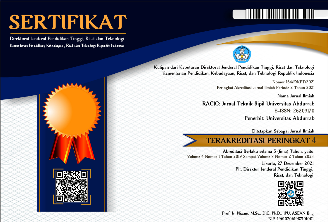
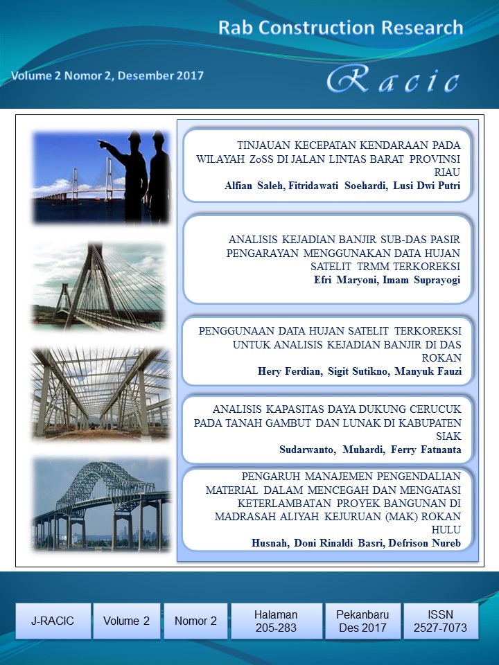
ANALISIS KEJADIAN BANJIR SUB-DAS PASIR PENGARAYAN MENGGUNAKAN DATA HUJAN SATELIT TRMM TERKOREKSI
Abstract
Satellite-based rainfall data GSMap_NRT is expected to predict and forecast flooding in the area of sub watershed Pasir Pengarayan. Advances in remote sensing technology make it possible to overcome the problem of available data limitations by utilizing data sourced from satellite. The availability of many remote sensing programs connected directly to satellites speeds up the process of collecting data. One of the program tools used is Integrated Flood Analysis System (IFAS) version 1.3.0 for hydrological modeling and flood discharge analysis at Pasir Pengarayan River. The data used in May 2012 is assumed as an analysis of flood event data for May 2013. Satellite data for rainfall is used GSMaP_NRT Correction Method original and GSMaP_NRT correction Method (Type1) formula 2 in the form of hourly rainfall data. The parameters used to assess model accuracy are waveform error (Ew), volume error (Ev), and peak discharge error (Ep).
GSMap modeling, conditions May 01 - 06 May 2012 period, where initial condition after IFAS parameter is simulated, Ew, Ev, and Ep are 43,52%, -9,92% and -5,93% for original GSMaP_NRT. While the simulation results from GSMaP_NRT correction obtained 1.57%, 12.58%, and 20.34%. Modeling GSMap Corrected method type formula 2, conditions May 01 - 06 May 2013 period, where the initial condition after IFAS parameter is simulated, Ew, Ev, and Ep are 43,528%, -9,925% and -5,938% for GSMaP_NRT Corrected. While simulation results from GSMaP_NRT correction method type 1 formula with 12 mm rainfall simulation obtained 0.004%, 7.706%, and 28.030%
1. Copyright of all journal manuscripts is held by the RACIC : Rab Construction Research
2. Formal legal provisions to access digital articles of electronic journal are subject to the provision of the Creative Commons Attribution-ShareAlike license (CC BY-NC-SA), which means that RACIC : Rab Construction Research is rightful to keep, transfer media/format, manage in the form of databases, maintain, and publish articles.
3. Published manuscripts both printed and electronic are open access for educational, research, and library purposes. Additionally, the editorial board is not responsible for any violations of copyright law.
![]() licensed under a Creative Commons Attribution-ShareAlike 4.0 International License.
licensed under a Creative Commons Attribution-ShareAlike 4.0 International License.
 PDF (Bahasa Indonesia)
 Abstract views: 183
 downloads: 400